Bird Road Corridor Urban Area Zoning District

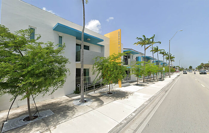
The Bird Road Corridor Urban Area (BRCUA) zoning district was adopted by the Board of County Commissioners in 2013 and implements many of the recommendations of the Bird Road Corridor Study. Uses permitted in the BRCUA district include retail, office, restaurant, hotel, residential and civic.
For a complete list of permitted uses and specific restrictions or limitations in the BRCUA district, refer to the adopted Code of Miami-Dade County.
Regulating Plans
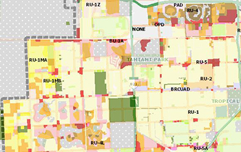
Permitted uses, building, height, designated open spaces and certain other requirements are controlled by regulating plans. Specific information on permitted use, building, height and residential density for each property in the BRCUA district is available in the Land Management map.
Specific regulating plans for land use, sub-districts, designated open space and new streets are available in PDF format.
Building Placement
Parking, Open Space and Other Requirements
Plan Review
New development and additions to existing buildings that comply with applicable zoning requirements require approval through the Administrative Site Plan Review (ASPR) procedure. Before the ASPR can begin, a pre-application review for the proposed development is required.
ASPR is not required for interior and exterior improvements to existing buildings that do not expand the building area.
Land Management Map

Explore the interactive Land Management GIS map. To locate a property, enter the folio number or address.
Zoning Districts and Regulations
The regulations contained herein are general in nature and are subject to change as deemed necessary by the Board of County Commissioners. It is advisable to contact the Department of Regulatory and Economic Resources at 305-375-2800 to ascertain whether more restrictive regulations may apply to specific developments.

Regulatory and Economic Resources
Lourdes M. Gomez
Stephen P. Clark Center
111 NW 1st Street,
11th Floor
Miami, FL 33128
305-375-2877 | [email protected]
Herbert S. Saffir Permitting and Inspection Center
11805 SW 26 Street,
Miami, FL 33175
786-315-2000
