Hurricane Irma
As we continue our recovery and cleanup efforts, please visit the Emergency website for the latest information on openings and closings in Miami-Dade County.
Biscayne Coastal Wetlands
 |
"When the well's dry, we know the worth of water." -- Benjamin Franklin |
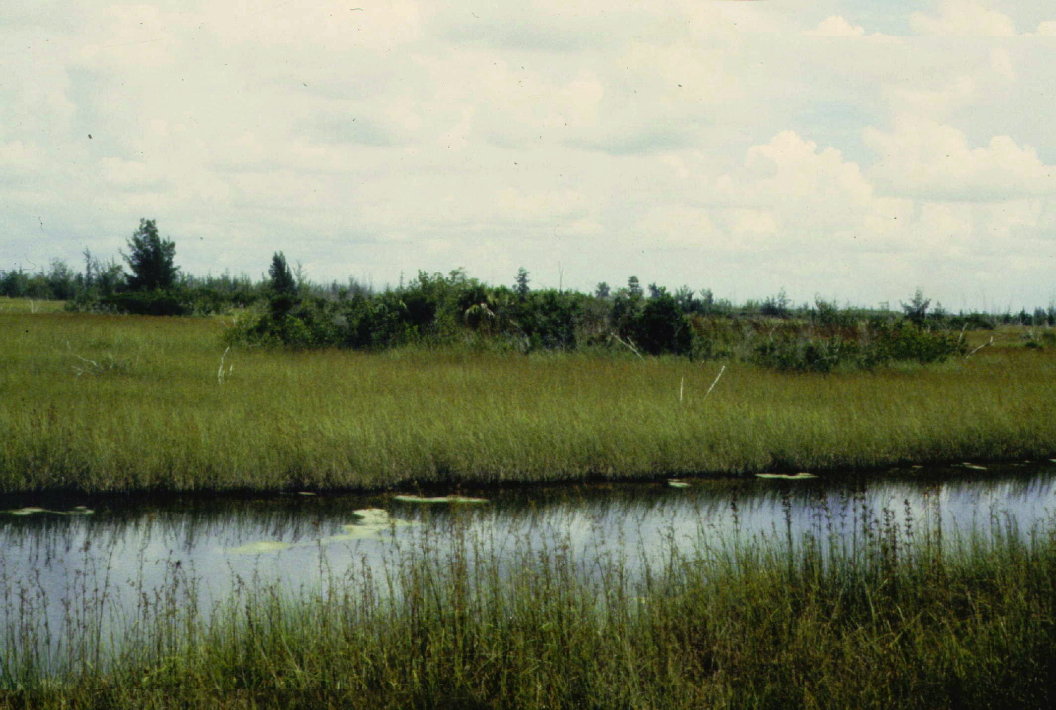
The Environmentally Endangered Lands Program, in partnership with Florida Communities Trust, acquired portions of the Biscayne Bay Coastal Wetlands to preserve the natural mangrove coast, provide hazard mitigation, and to protect the County's water resources. These lands are part of a national and state effort to restore America's Everglades.
Biscayne Bay is a shallow, subtropical lagoon along the southeastern coast of Florida. The Bay is a fairly recent geological formation and the average natural depth was historically three to nine feet. Today, much of this area has been modified and dredged and average depths now range from six feet to ten feet.
The shoreline is primarily undeveloped and is lined with mangroves and tidal inlets. The rich fauna found Biscayne Bay results from the diverse habitats found in the bay. Extensive seagrass beds, mangrove forests, estuarine, and hard-bottom communities are found here.
In addition to fish directly important to man, such as snook and red drum, the mangrove and estuarine areas support a diverse collection of other fishes and waterfowl which are links in a food web which carries the rich productivity of the mangrove forests and estuarine zone out to benefit the entire Biscayne Bay ecosystem.
See Also:
You are now leaving the official website of Miami-Dade County government. Please be aware that when you exit this site, you are no longer protected by our privacy or security policies. Miami-Dade County is not responsible for the content provided on linked sites. The provision of links to these external sites does not constitute an endorsement.
Please click 'OK' to be sent to the new site, or Click 'Cancel' to go back.


